 Contact
 Cum să cumpăr
Livrare
Consilier de cumpărături
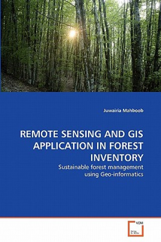
Remote Sensing and GIS Application in Forest Inventory
 germană
 137 b
137 b
30 de zile pentru retur bunuri
Ar putea de asemenea, să te intereseze


 /
Carte broșată
/
Carte broșată
 272.66
lei
272.66
lei


Forest inventories have traditionally been used for acquiring quantitative and qualitative information of forests. With the advent of technology, remote sensing has been found to provide an alternative for forest mapping and monitoring in less time and low cost. This research involves the study of forest crown closure, type of tree species and their spatial distribution in Ayubia National Park with SPOT 5 (2.5m spatial resolution) & ALI (30m spatial resolution) imageries based on the collaboration of Geographic Information System and Remote Sensing. In this study the optical properties of tree species were used to classify the study area into different vegetation categories. Being different and unique for each species, optical properties were used as a source of species identification. Species classification was performed using various supervised classification methods, both on high spectral (ALI) and spatial (SPOT) resolution multispectral space borne imageries.
Informații despre carte
germană
Categorii
